|
©The Archaeological Settlements of Turkey - TAY Project
|
|
|
|
|
|
Kale Tepe 1 |
|
|
For site maps and drawings please click on the picture...  |
For photographs please click on the photo... 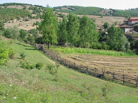 |
|
Type:
|
Mound |
|
Altitude:
|
210 m |
|
Region:
|
Black Sea |
|
Province:
|
Samsun |
|
District:
|
Ladik |
|
Village:
|
Karaabdal |
|
Investigation Method:
|
Survey |
|
Period:
|
|
|
|
|
 |
|
| It stands on a natural hill; immediate south of the Karaabdal Stream; 1 km southwest of the village named after the stream; 6 km northwest of Ladik District as the crow flies; southwest of Samsun Province. To the southeast of it are the location and stream of Kusyuvasi; and Büyük Alan-Karaabdal road; and to the north Yumurtatepe hill. It was discovered during a survey conducted under U.B. Alkim. It measures 15 m in height and some 250x300 m in dimensions in accordance with the distribution of the pottery. It is indicated as a third millennium BC settlement. |
| Location: |
| Geography and Environment: |
| History: |
| Research and Excavation: |
| Stratigraphy: |
| Small Finds: |
| Remains: |
| Interpretation and Dating: |