|
©The Archaeological Settlements of Turkey - TAY Project
|
|
|
|
|
|
Alliören |
|
|
For site maps and drawings please click on the picture...  |
For photographs please click on the photo... 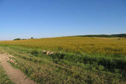 |
|
Type:
|
Mound |
|
Altitude:
|
1115 m |
|
Region:
|
Aegean |
|
Province:
|
Kütahya |
|
District:
|
Dumlupinar |
|
Village:
|
Alliören |
|
Investigation Method:
|
Survey |
|
Period:
|
EBA II |
|
|
|
 |
|
| It is located in the entrance of a valley extending alongside the Adatepe hill; 1.7 km southeastern part of Alliören Village; southwest of Altintas District; north of Dumlupinar; south of Kütahya Province. It can be clearly seen in the plain area and a stream flows from the south of it. It was discovered by T. Efe during the survey conducted in the area in 1991. It measures 150 m in diameter and 6 m in height. The materials dating from the EBA II and the Classical Period were collected from the surface. It takes place in the registered archaeological sites list prepared by Ministry of Culture and Tourism. |
| Location: |
| Geography and Environment: |
| History: |
| Research and Excavation: |
| Stratigraphy: |
| Small Finds: |
| Remains: |
| Interpretation and Dating: |