|
©The Archaeological Settlements of Turkey - TAY Project
|
|
|
|
|
|
Kale Höyük |
|
|
For site maps and drawings please click on the picture...  |
For photographs please click on the photo... 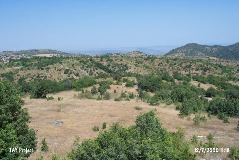 |
|
Type:
|
Mound |
|
Altitude:
|
630 m |
|
Region:
|
Marmara |
|
Province:
|
Bilecik |
|
District:
|
Sögüt |
|
Village:
|
Merkez |
|
Investigation Method:
|
Survey |
|
Period:
|
EBA III |
|
|
|
 |
|
| It lies 4 km northwest of Sögüt District; southeast of Bilecik Province. It is on a natural hill in the valley; at the joining point of two streams. Gözpinar Stream flows from its west and Kadipinar Stream from east. Sögüt-Bilecik motorway runs from the south. The hill is locally known as Sarniçlar Mevkii. It was discovered in 1990 during a survey conducted in the region by T. Efe. It stands on a natural hill. It measures ca. 100 m in diameter. To the northeast lies a fresh water spring. Materials collected from the surface belong to the EBA III; the second millennium BC and the Classical Period. |
| Location: |
| Geography and Environment: |
| History: |
| Research and Excavation: |
| Stratigraphy: |
| Small Finds: |
| Remains: |
| Interpretation and Dating: |