|
©The Archaeological Settlements of Turkey - TAY Project
|
|
|
|
|
|
Kaldirim |
|
|
For site maps and drawings please click on the picture...  |
For photographs please click on the photo... 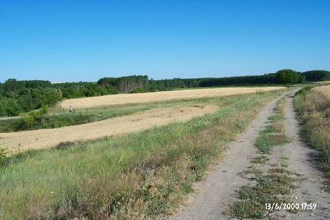 |
|
Type:
|
Flat Settlement |
|
Altitude:
|
-22 m |
|
Region:
|
Marmara |
|
Province:
|
Edirne |
|
District:
|
Merkez |
|
Village:
|
Hatip |
|
Investigation Method:
|
Survey |
|
Period:
|
|
|
|
|
 |
|
| It lies on the western bank of the Tunca River; 1 km east of Hatip Village; about 15 km north of Edirne Province. It is located at the point where the road to Hatip Village curves; to the southeast of the road. It was discovered during the Edirne survey in 1995 by B. Erdogu. Plenty of material dating from the Early and Middle Chalcolithic (Karanovo III-IV) Ages was collected from the surface. EBA material is very rare. |
| Location: |
| Geography and Environment: |
| History: |
| Research and Excavation: |
| Stratigraphy: |
| Small Finds: |
| Remains: |
| Interpretation and Dating: |