|
©The Archaeological Settlements of Turkey - TAY Project
|
|
|
|
|
|
Kahkül Tepe |
|
|
For site maps and drawings please click on the picture...  |
For photographs please click on the photo... 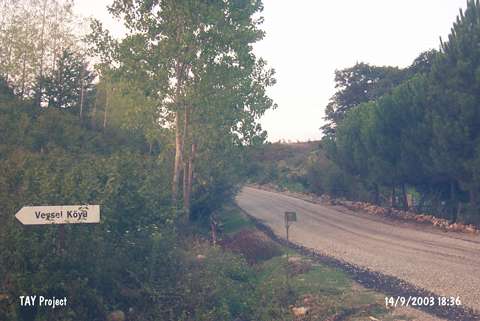 |
|
Type:
|
Mound |
|
Altitude:
|
110 m |
|
Region:
|
Black Sea |
|
Province:
|
Sinop |
|
District:
|
Erfelek |
|
Village:
|
Hamidiye |
|
Investigation Method:
|
Survey |
|
Period:
|
|
|
|
|
 |
|
| It stands on a natural hill on the southern bank of the Karasu (Erfelek) Stream; south of the Veysel-Hamidiye road intersecting the Sinop-Erfelek motorway; northeast of Erfelek District; southwest of Sinop Province. It lies right across the bridge over the Erfelek Stream. The road between Bektasaga and Veysel villages passes from the northeast. It was discovered in 1987 during the Sinop Survey conducted by M.A. Isin; and re-investigated by S. Dönmez. It measures 8-10 m in height and 12x9 m in dimensions. Red colored; grit and plant tempered EBA pottery was collected from the surface. It takes place in the registered archaeological sites list prepared by Ministry of Culture and Tourism. |
| Location: |
| Geography and Environment: |
| History: |
| Research and Excavation: |
| Stratigraphy: |
| Small Finds: |
| Remains: |
| Interpretation and Dating: |