|
©The Archaeological Settlements of Turkey - TAY Project
|
|
|
|
|
|
Kagilcik Magarasi |
|
|
For site maps and drawings please click on the picture... 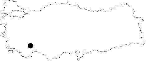 |
For photographs please click on the photo... 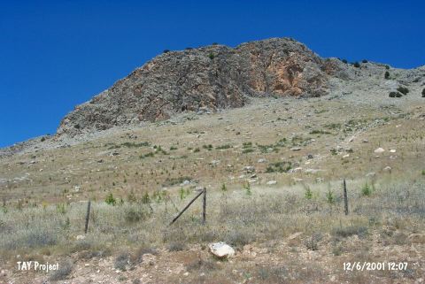 |
|
Type:
|
Cave |
|
Altitude:
|
1290 m |
|
Region:
|
Mediterranean |
|
Province:
|
Burdur |
|
District:
|
Karamanli |
|
Village:
|
Kagilcik |
|
Investigation Method:
|
Survey |
|
Period:
|
Ceramic |
|
|
|
 |
|
| This cave site lies southwest of the city of Burdur; east of the town of Karamanli; in the rock outcrop in the Tefenni Plain known as Mount Kagilcik. The limestone of the rock outcrop is suitable for cave formation. The mouth of the cave faces east and it is 5 m wide; 2.5-3 m high and the depth of the cave is 17 m. This cave-site was discovered in 1964 by J. Birmingham; who found Dark Burnished Ware at the site. In ASPRO; the site has been placed in Phase 5/6. |
| Location: |
| Geography and Environment: |
| History: |
| Research and Excavation: |
| Stratigraphy: |
| Small Finds: |
| Remains: |
| Interpretation and Dating: |