|
©The Archaeological Settlements of Turkey - TAY Project
|
|
|
|
|
|
Kadi Mezari |
|
|
For site maps and drawings please click on the picture...  |
For photographs please click on the photo... 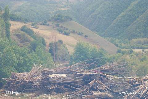 |
|
Type:
|
Mound |
|
Altitude:
|
230 m |
|
Region:
|
Black Sea |
|
Province:
|
Sinop |
|
District:
|
Gerze |
|
Village:
|
Mahmuttiri |
|
Investigation Method:
|
Survey |
|
Period:
|
|
|
|
|
 |
|
| It lies 500 m far from Sahinoglu Village on the eastern bank of the Sarimsak Stream; about 10 km west of Gerze District; Sinop Province. It measures 7 m in height and 80 m in width. It was discovered during the Sinop Survey conducted by M.A. Isin. It has been severely damaged due to illicit digging and heavy cultivation. Pottery of the Chalcolithic Age and the EBA was collected from the surface. The EBA pottery is colored in black; beige and brown and burnished. Some have a black exterior surface and red interior surface. Forms of bowl are common. It takes place in the registered archaeological sites list prepared by Ministry of Culture and Tourism. |
| Location: |
| Geography and Environment: |
| History: |
| Research and Excavation: |
| Stratigraphy: |
| Small Finds: |
| Remains: |
| Interpretation and Dating: |