|
©The Archaeological Settlements of Turkey - TAY Project
|
|
|
|
|
|
Alime Tepesi |
|
|
For site maps and drawings please click on the picture...  |
For photographs please click on the photo... 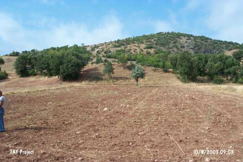 |
|
Type:
|
Upland Settlement |
|
Altitude:
|
900 m |
|
Region:
|
Black Sea |
|
Province:
|
Tokat |
|
District:
|
Zile |
|
Village:
|
Boldaci |
|
Investigation Method:
|
Survey |
|
Period:
|
|
|
|
|
 |
|
| It stands on a natural hill; 2.7 km east of Boldaci Village; 40 km southwest of Zile; southwest of Tokat Province. It has an altitude of 25 m. North of the site Masat Höyük can bee seen. It was discovered in 1998 by a team under M. Özsait. Sherds of the EBA; MBA and LBA productions were collected from the surface. It covers an area of 70x100 m in accordance with the distribution of pottery. Adjacent to it; there is a fresh water spring. |
| Location: |
| Geography and Environment: |
| History: |
| Research and Excavation: |
| Stratigraphy: |
| Small Finds: |
| Remains: |
| Interpretation and Dating: |