|
©The Archaeological Settlements of Turkey - TAY Project
|
|
|
|
|
|
Incirlik |
|
|
For site maps and drawings please click on the picture... 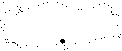 |
For photographs please click on the photo... 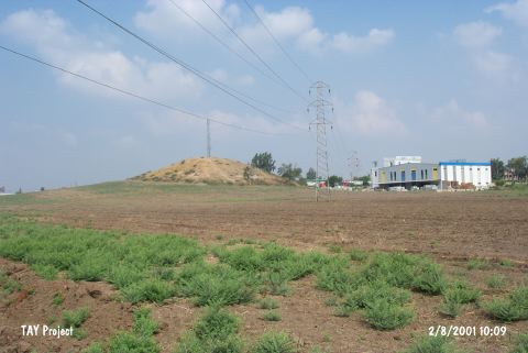 |
|
Type:
|
Mound |
|
Altitude:
|
80 m |
|
Region:
|
Mediterranean |
|
Province:
|
Adana |
|
District:
|
Merkez |
|
Village:
|
Merkez |
|
Investigation Method:
|
Survey |
|
Period:
|
|
|
|
|
 |
|
| This site lies right behind the gas station; immediate south of Adana-Ceyhan motorway; approximately 9 km east of the city of Adana. It is a medium-size mound; 7 m high. It was discovered in 1934; and investigated by researchers like R.O.Arik; M.V.Seton-Williams and J. Mellaart. The presence of an EBA settlement and recovery of metallic ware samples of Konya Region were reported by J. Mellaart. It is stated that the site had been inhabited from the Chalcolithic Age to the Hellenistic Period. It is included in the Late Hittite settlements. It takes place in the registered archaeological sites list prepared by Ministry of Culture and Tourism. |
| Location: |
| Geography and Environment: |
| History: |
| Research and Excavation: |
| Stratigraphy: |
| Small Finds: |
| Remains: |
| Interpretation and Dating: |