|
©The Archaeological Settlements of Turkey - TAY Project
|
|
|
|
|
|
Aliköy Höyük |
|
|
For site maps and drawings please click on the picture...  |
For photographs please click on the photo... 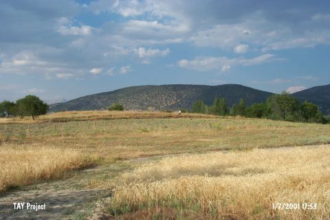 |
|
Type:
|
Mound |
|
Altitude:
|
920 m |
|
Region:
|
Mediterranean |
|
Province:
|
Isparta |
|
District:
|
Merkez |
|
Village:
|
Aliköy |
|
Investigation Method:
|
Survey |
|
Period:
|
Late |
|
|
|
 |
|
| The mound lies 2.2 km south of Aliköy Village; 8 km northeast of Isparta Province. The site was discovered by M. Özsait during the 1984 and 1985 Isparta Prehistoric Survey. The mound is 7 m high and 150x100 m in size. It is seriously destroyed because of being used as an orchard. Most of the material is of the Early Bronze Age; but the large vertical pierced lugs similar; and yet coarser than those recovered at the mounds in Burdur region hint the existence of a Late Chalcolithic Age. Therefore; the mound is one of the debatable sites for the Chalcolithic Age. It takes place in the registered archaeological sites list prepared by Ministry of Culture and Tourism. |
| Location: |
| Geography and Environment: |
| History: |
| Research and Excavation: |
| Stratigraphy: |
| Small Finds: |
| Remains: |
| Interpretation and Dating: |