|
©The Archaeological Settlements of Turkey - TAY Project
|
|
|
|
|
|
Incirlik |
|
|
For site maps and drawings please click on the picture... 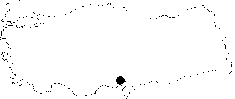 |
For photographs please click on the photo... 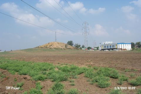 |
|
Type:
|
Mound |
|
Altitude:
|
80 m |
|
Region:
|
Mediterranean |
|
Province:
|
Adana |
|
District:
|
Merkez |
|
Village:
|
Merkez |
|
Investigation Method:
|
Survey |
|
Period:
|
Ceramic |
|
|
|
 |
|
| This site lies right behind the gas station; immediate south of Adana-Ceyhan motorway; approximately 9 km east of the city of Adana. The mound is a 7 km high; middle-sized mound. The site was surveyed both by R.O. Arik in 1936 and by M.V. Seton-Williams in 1951. The site has been assigned to the first and second millenniums BC. A few Chalcolithic and Hellenistic finds were recovered as well. Mention of some burnished ware (probably Dark Burnished Ware) is the only information provided on a proto-Chalcolithic settlement. The site; therefore; may have a Late Neolithic-Early Chalcolithic; pre-Halafian component. This interpretation must be viewed with skepticism because the amount of information on the site is limited. In ASPRO; the site has been dated to phase 6/2. It takes place in the registered archaeological sites list prepared by Ministry of Culture and Tourism. |
| Location: |
| Geography and Environment: |
| History: |
| Research and Excavation: |
| Stratigraphy: |
| Small Finds: |
| Remains: |
| Interpretation and Dating: |