|
©The Archaeological Settlements of Turkey - TAY Project
|
|
|
|
|
|
Alikirpun 2 |
|
|
For site maps and drawings please click on the picture...  |
For photographs please click on the photo... 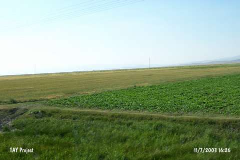 |
|
Type:
|
Mound |
|
Altitude:
|
1300 m |
|
Region:
|
Eastern Anatolia |
|
Province:
|
Mus |
|
District:
|
Korkut |
|
Village:
|
Kocatarla |
|
Investigation Method:
|
Survey |
|
Period:
|
|
|
|
|
 |
|
| The mound lies 27 km east of Mus; 3 km southwest of Korkut (Til) village; on Kocatarla road. The mound was discovered by C. Burney in 1957. The small mound is 5 m height and 30 m in diameter. The mound was named Alikirpun 2; because of the Alikirpun (Kocatarla) village to the southwest of the site. Russel dates the pottery suspiciously to the Chalcolithic Age. There were also potsherds dating back to more recent periods (?). |
| Location: |
| Geography and Environment: |
| History: |
| Research and Excavation: |
| Stratigraphy: |
| Small Finds: |
| Remains: |
| Interpretation and Dating: |