|
©The Archaeological Settlements of Turkey - TAY Project
|
|
|
|
|
|
Imamoglu |
|
|
For site maps and drawings please click on the picture... 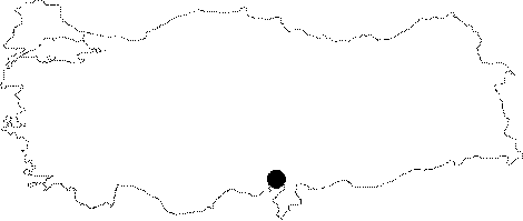 |
For photographs please click on the photo...  |
|
Type:
|
Mound |
|
Altitude:
|
100 m |
|
Region:
|
Mediterranean |
|
Province:
|
Adana |
|
District:
|
Kozan |
|
Village:
|
Imamoglu |
|
Investigation Method:
|
Survey |
|
Period:
|
|
|
|
|
 |
|
| This site lies 30 km northeast of the city of Adana; on the side of the Adana-Kozan highway. The mound; measuring 7 m in height; is cut by a stream nearby. The ceramics that were collected from the mound's surface in 1936 and brought to Adana Museum were investigated in 1951 by the Cilician Survey team. The sherds were dated to EBA; Iron Age and the Byzantine Period. Mellaart has added this mound to the mettalic ware distribution map. |
| Location: |
| Geography and Environment: |
| History: |
| Research and Excavation: |
| Stratigraphy: |
| Small Finds: |
| Remains: |
| Interpretation and Dating: |