|
©The Archaeological Settlements of Turkey - TAY Project
|
|
|
|
|
|
Imamoglu |
|
|
For site maps and drawings please click on the picture... 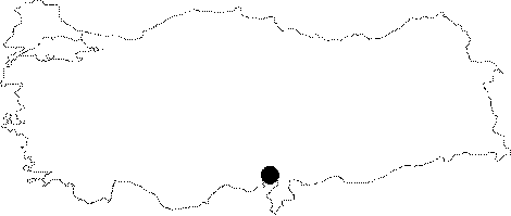 |
For photographs please click on the photo...  |
|
Type:
|
Mound |
|
Altitude:
|
100 m |
|
Region:
|
Mediterranean |
|
Province:
|
Adana |
|
District:
|
Kozan |
|
Village:
|
Imamoglu |
|
Investigation Method:
|
Survey |
|
Period:
|
Ceramic |
|
|
|
 |
|
| This site lies 30 km northeast of the city of Adana; along the Adana-Kozan highway (on the western side of the road). On a map the mound can be seen immediately south of the village of Imamoglu. It is a small; round mound approximately 7 m in height. It is partially cut by a tributary of the Çeperçe Stream. The mound was discovered by J. Garstang in 1936 and researched by Seton-Williams in 1951. In addition to Early Bronze Age; Hellenistic and Byzantine finds; the mound also appears to possibly have a Late Neolithic-Early Chalcolithic settlement. The Neolithic ware is reported to have similarities with Yumuktepe ware. Although placed in phase 6 in ASPRO; it is difficult to assign this site to the Neolithic. Seton-Williams does not mention any pre-Halafian finds. |
| Location: |
| Geography and Environment: |
| History: |
| Research and Excavation: |
| Stratigraphy: |
| Small Finds: |
| Remains: |
| Interpretation and Dating: |