|
©The Archaeological Settlements of Turkey - TAY Project
|
|
|
|
|
|
Ilya'nin Yeri |
|
|
For site maps and drawings please click on the picture...  |
For photographs please click on the photo... 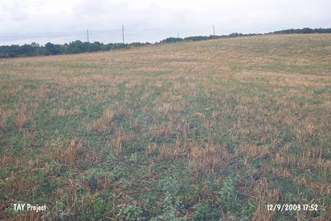 |
|
Type:
|
Mound |
|
Altitude:
|
105 m |
|
Region:
|
Black Sea |
|
Province:
|
Sinop |
|
District:
|
Merkez |
|
Village:
|
Lalaköy |
|
Investigation Method:
|
Survey |
|
Period:
|
|
|
|
|
 |
|
| It is 1 km southwest of Black Sea; 700 m northwest of the bridge over the Kabali Stream; 3 km east of the Altinoglu exit on the Sinop-Gerze motorway; southeast of Sinop Province. Ilya'nin Yeri consists of two mounds; one 100x50x5 m in dimensions and the other in 70x40x3 m. It was discovered in 1987 during the Sinop Survey conducted by M.A. Isin. Materials of the Roman and Hellenistic Periods; the EBA and the Late Chalcolithic Age were collected from the surface. The EBA pottery is very rare. They have a gray and beige paste tempered with seashell and burnished. Bowl and dish forms were uncovered; some of them having bands decorated by reliefs on the rims. It takes place in the registered archaeological sites list prepared by Ministry of Culture and Tourism. |
| Location: |
| Geography and Environment: |
| History: |
| Research and Excavation: |
| Stratigraphy: |
| Small Finds: |
| Remains: |
| Interpretation and Dating: |