|
©The Archaeological Settlements of Turkey - TAY Project
|
|
|
|
|
|
Ikizin Magarasi |
|
|
For site maps and drawings please click on the picture... 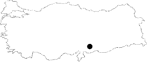 |
For photographs please click on the photo...  |
|
Type:
|
Cave |
|
Altitude:
|
m |
|
Region:
|
Mediterranean |
|
Province:
|
Kahramanmaras |
|
District:
|
Pazarcik |
|
Village:
|
Merkez |
|
Investigation Method:
|
Excavation |
|
Period:
|
OP ÜP |
|
|
|
 |
|
| Location: This site is in one of the natural limestone caves positioned on the cliffs of the Ardil Strait facing the stream. The strait is southeast of the town of Pazarcik in the Kahramanmaras Province. There are many caves in this region; as shown in a 1:100;000 map; but it is impossible to determine which one is Ikizin Magarasi. See Gani Dagi Yöresi for the schematic map of the sites between the villages of Saril and Ardil. |
| Geography and Environment: The Ardil Stream; which springs from the Araban Region flows east to west through the Araban Plain; passes through the Ardil Strait and empties into a swamp to its southwest. The southern and northern parts of the plain as well as the area near the strait are hilly. The dimensions of the cave have not been given but because in one of his publications Kökten refers to the cave as the "Ikizin Shelter"; we presume that the cave must not be too big. |
| History: |
| Research and Excavation: The cave excavations were led by Kökten in 1960 and 1961. The stratigraphy is not clear. In one of his publications; Kökten mentions that the Ikizin Cave was the only cave he excavated in while surveying the cliffs on either side of the Ardil Strait. |
| Stratigraphy: |
| Small Finds: Kökten found chipped stone tools; which he assigned to the Middle and Upper Palaeolithic; in the test trench he opened at the mouth of the cave. Although he does not provide detailed information on the tools; he reports that they are all flint scrapers. The site is only partially published. |
| Remains: |
| Interpretation and Dating: |