|
©The Archaeological Settlements of Turkey - TAY Project
|
|
|
|
|
|
Ikitepe |
|
|
For site maps and drawings please click on the picture...  |
For photographs please click on the photo... 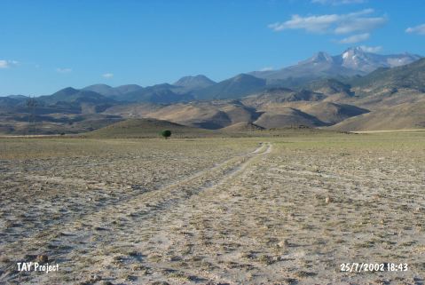 |
|
Type:
|
Mound |
|
Altitude:
|
1145 m |
|
Region:
|
Central Anatolia |
|
Province:
|
Kayseri |
|
District:
|
Develi |
|
Village:
|
Çayirözü |
|
Investigation Method:
|
Survey |
|
Period:
|
|
|
|
|
 |
|
| It lies south of Kayseri; 3 km northeast of Çayirözü village of Develi district. A smaller hill stands east of the 19 m high mound; measuring 17 m in diameter. It was discovered during the Central Anatolian Survey conducted by S. Omura in 1990. Sherds; dating to the Chalcolithic Age; EBA; MBA-LBA and IA; were found on the surface. There is no detailed information about the finds. The sherds that were collected from the mound at 20 m height on the hill; and it's slopes date to EBA; Age of Colonies as well as the remaining periods of the 2.nd Millenium BC; and IA [Girginer 2007:183]. It takes place in the registered archaeological sites list prepared by Ministry of Culture and Tourism. |
| Location: |
| Geography and Environment: |
| History: |
| Research and Excavation: |
| Stratigraphy: |
| Small Finds: |
| Remains: |
| Interpretation and Dating: |