|
©The Archaeological Settlements of Turkey - TAY Project
|
|
|
|
|
|
Alibeyli |
|
|
For site maps and drawings please click on the picture... 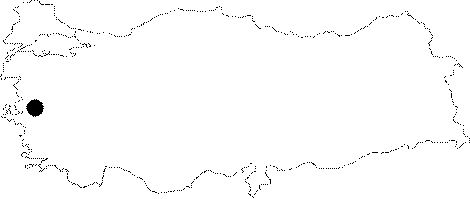 |
For photographs please click on the photo... 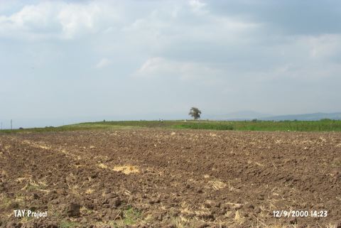 |
|
Type:
|
Mound |
|
Altitude:
|
100 m |
|
Region:
|
Aegean |
|
Province:
|
Manisa |
|
District:
|
Saruhanli |
|
Village:
|
Alibeyli |
|
Investigation Method:
|
Survey |
|
Period:
|
Late |
|
|
|
 |
|
| The mound lies northeast of Manisa; east-southeast of Saruhanli; 4 km northeast of Halitpasa; 3 km north-northwest of Alibeyli. It is a small mound measuring 6 m height and 80 m in size. In 1959; D.H. French made a surface collection at the site and collected potsherds of black burnished ware in Kumtepe l b type. The surface finds indicate an uninterrupted sequence from the Late Neolithic Age to 2000 BC (for detailed information of the location and the Neolithic Age settlement of the mound see Harmankaya et al. 1997:Alibeyli) It was researched again by E. Akdeniz et al. in 2007 and it's surface dimensions were measured 100x60m, and it is 2 m in height. Late Chalcolithic Age and later period sherds were found on the surface [Akdeniz 2009:259]. |
| Location: This site is northeast of the city of Manisa; 4 km northeast of the town of Halitpasa and 3 km north-northwest of the village of Alibeyli. It is possible to get to the mound via the Halitpasa-Alibeyli highway. |
| Geography and Environment: The mound; which is 80 m in diameter and 6 m in height; lies on the Gediz Plain. Today there are no water sources in the vicinity of the mound. The settlers in the area must have obtained their water from the streamlets which feed the Gediz River. The Gediz Plain; which is oriented east-west; formed as a tectonic depression. The mound lies along a trade route. |
| History: |
| Research and Excavation: |
| Stratigraphy: |
| Small Finds: |
| Remains: |
| Interpretation and Dating: |