|
©The Archaeological Settlements of Turkey - TAY Project
|
|
|
|
|
|
Ibrahim Höyük |
|
|
For site maps and drawings please click on the picture...  |
For photographs please click on the photo... 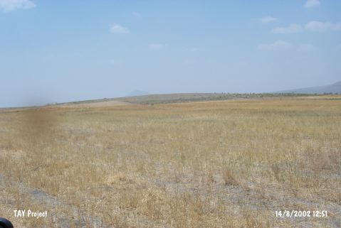 |
|
Type:
|
Mound |
|
Altitude:
|
1140 m |
|
Region:
|
Central Anatolia |
|
Province:
|
Karaman |
|
District:
|
Merkez |
|
Village:
|
Çoglu |
|
Investigation Method:
|
Survey |
|
Period:
|
|
|
|
|
 |
|
| It lies southeast of Çoglu Village; east of Karadag mass; north of the city of Karaman. The mound was discovered by J. Mellaart during the South Anatolia Survey in 1951-58. |
| Location: |
| Geography and Environment: |
| History: |
| Research and Excavation: |
| Stratigraphy: |
| Small Finds: |
| Remains: |
| Interpretation and Dating: |