|
©The Archaeological Settlements of Turkey - TAY Project
|
|
|
|
|
|
Inegöl 2 |
|
|
For site maps and drawings please click on the picture...  |
For photographs please click on the photo... 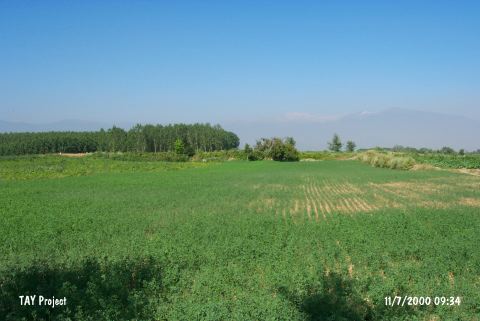 |
|
Type:
|
Mound |
|
Altitude:
|
330 m |
|
Region:
|
Marmara |
|
Province:
|
Bursa |
|
District:
|
Inegöl |
|
Village:
|
Merkez |
|
Investigation Method:
|
Survey |
|
Period:
|
EBA II EBA III |
|
|
|
 |
|
| It lies south of Eskisehir-Bursa highway; 3 km east of Inegöl District; southeast of Bursa Province. The settlement is in a plain terrain and there is a stream flowing to the east of it. It measures 400x3 m. It has been partly damaged. It was discovered in 1960 by J. Mellaart; and later; investigated by D.H. French in detail. Materials of the EBA II-III and the second millennium BC were collected from the surface. |
| Location: |
| Geography and Environment: |
| History: |
| Research and Excavation: |
| Stratigraphy: |
| Small Finds: |
| Remains: |
| Interpretation and Dating: |