|
©The Archaeological Settlements of Turkey - TAY Project
|
|
|
|
|
|
Ilisar 1-3 |
|
|
For site maps and drawings please click on the picture...  |
For photographs please click on the photo... 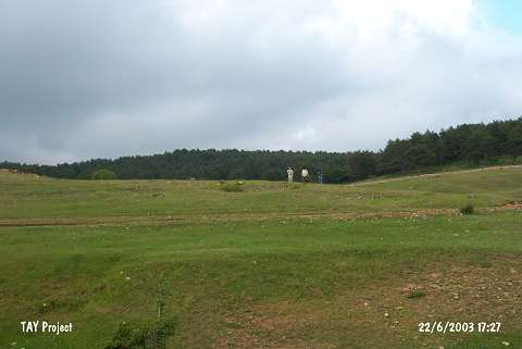 |
|
Type:
|
Mound |
|
Altitude:
|
1490 m |
|
Region:
|
Black Sea |
|
Province:
|
Ordu |
|
District:
|
Mesudiye |
|
Village:
|
Göçbeyi |
|
Investigation Method:
|
Survey |
|
Period:
|
|
|
|
|
 |
|
| It is located on a stony area; 150 m southwest of the Ilisar forest road over a ridge; 2.5 km northeast of Gökçebey Village of Mesudiye District; south of Ordu Province. Restricted number of EBA pottery was collected during the 1992 survey conducted by M. Özsait. The flat settlement was named Ilisar I. Likewise; limited number of EBA pottery was collected 60 m northwest of Ilisar I; and it was called Ilisar II. Another settlement was discovered 100 m south of Ilisar I and II on a steep slope. It was named Ilisar III. It covers an area of 100 m in the north direction and 75 m in the south direction. Brown pasted; fine grit; calcite and plant tempered; exteriorly brown red and gray; interiorly brown EBA pottery was collected. The vessels figured out belonging to the medium and big sized pottery have strap handles; lugs and wide channel decorations. Also found is a limited number of the Chalcolithic Age material. |
| Location: |
| Geography and Environment: |
| History: |
| Research and Excavation: |
| Stratigraphy: |
| Small Finds: |
| Remains: |
| Interpretation and Dating: |