|
©The Archaeological Settlements of Turkey - TAY Project
|
|
|
|
|
|
Ilisar 1-3 |
|
|
For site maps and drawings please click on the picture...  |
For photographs please click on the photo... 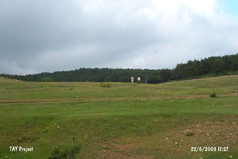 |
|
Type:
|
Mound |
|
Altitude:
|
1490 m |
|
Region:
|
Black Sea |
|
Province:
|
Ordu |
|
District:
|
Mesudiye |
|
Village:
|
Göçbeyi |
|
Investigation Method:
|
Survey |
|
Period:
|
|
|
|
|
 |
|
| The 100x175 m mound lies southwest of Ordu and of Mesudiye; 2.5 km northeast of Göcbey village; 250 m southwest of Ilisar Forest; north of the river valley. It was discovered by M. Özsait in 1992. According to him; EBA sherds were collected. He claims that the sherds with flaring rims and vertical sides date to the Chalcolithic Age. Ilisar III is a debatable site for the Chalcolithic Age. |
| Location: |
| Geography and Environment: |
| History: |
| Research and Excavation: |
| Stratigraphy: |
| Small Finds: |
| Remains: |
| Interpretation and Dating: |