|
©The Archaeological Settlements of Turkey - TAY Project
|
|
|
|
|
|
Ilikpinar Höyük |
|
|
For site maps and drawings please click on the picture...  |
For photographs please click on the photo... 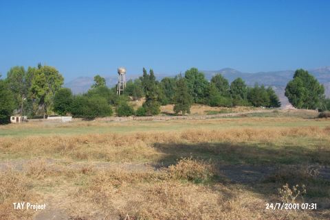 |
|
Type:
|
Mound |
|
Altitude:
|
100 m |
|
Region:
|
Mediterranean |
|
Province:
|
Hatay |
|
District:
|
Kirikhan |
|
Village:
|
Kodalli |
|
Investigation Method:
|
Survey |
|
Period:
|
EBA I EBA II |
|
|
|
 |
|
| It lies on the eastern bank of the Karasu Stream; south of Kodalli (Hamamgarbi) Village; 7.5 km northeast of Kirkhan District; of Hatay Province. R. Braidwood informs that it was locally called Hakhor or Tell Hammam al Gharbi. The survey he conducted in 1935 yielded the settlements of the Jamdat Nasr (EBA I) Period. It is a medium sized mound. There is a fresh water spring nearby. Also present is a settlement of the nineteenth century A.D. It takes place in the registered archaeological sites list prepared by Ministry of Culture and Tourism. |
| Location: |
| Geography and Environment: |
| History: |
| Research and Excavation: |
| Stratigraphy: |
| Small Finds: |
| Remains: |
| Interpretation and Dating: |