|
©The Archaeological Settlements of Turkey - TAY Project
|
|
|
|
|
|
Gaybeyan / Hirtadom |
|
|
For site maps and drawings please click on the picture...  |
For photographs please click on the photo... 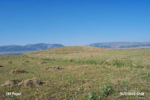 |
|
Type:
|
Mound |
|
Altitude:
|
1360 m |
|
Region:
|
Eastern Anatolia |
|
Province:
|
Mus |
|
District:
|
Merkez |
|
Village:
|
Yoncaliöz |
|
Investigation Method:
|
Survey |
|
Period:
|
|
|
|
|
 |
|
| It lies 1 km east of Yoncaliöz (Gaybiyan) Village on the northern bank of the Murat Suyu; south-southeast of Yaygin Town; northwest of Mus Province. 3 km east-southeast Körpeagaç (Dom) Village exists and north of the mound Mus-Elazig road; south of it a watering channel passes. It is a round mound. It measures 8 m in height and 100 m in diameter. It was discovered during a survey conducted by C.A. Burney. Rothman; for some reason; calls it Hirtadom. During the survey conducted by H. Biber and his team, pottery sherds dating to EBA, IA and Middle Age were found. It is named Yoncaliöz in the publication [Biber 2016:340]. |
| Location: |
| Geography and Environment: |
| History: |
| Research and Excavation: |
| Stratigraphy: |
| Small Finds: |
| Remains: |
| Interpretation and Dating: |