|
©The Archaeological Settlements of Turkey - TAY Project
|
|
|
|
|
|
Çimeli |
|
|
For site maps and drawings please click on the picture...  |
For photographs please click on the photo... 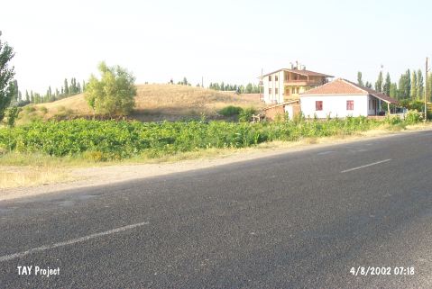 |
|
Type:
|
Mound |
|
Altitude:
|
1015 m |
|
Region:
|
Central Anatolia |
|
Province:
|
Aksaray |
|
District:
|
Merkez |
|
Village:
|
Çimeli |
|
Investigation Method:
|
Survey |
|
Period:
|
EBA III |
|
|
|
 |
|
| It is approximately 500 m southwest of Çimeli Village; eastern side of the Aksaray-Ankara highway; northwest of Aksaray Province. The survey conducted under S. Omura in 1996 yielded sherds dating from the transition from the EBA III to the MBA. They have very coarse exterior and very well burnished interior surfaces. S. Omura reports that likes of those finds are recovered from the building level 4 A of Kaman and Karum 3 of Kültepe. |
| Location: |
| Geography and Environment: |
| History: |
| Research and Excavation: |
| Stratigraphy: |
| Small Finds: |
| Remains: |
| Interpretation and Dating: |