|
©The Archaeological Settlements of Turkey - TAY Project
|
|
|
|
|
|
Beynam |
|
|
For site maps and drawings please click on the picture...  |
For photographs please click on the photo... 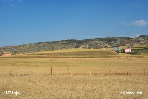 |
|
Type:
|
Mound |
|
Altitude:
|
1190 m |
|
Region:
|
Central Anatolia |
|
Province:
|
Ankara |
|
District:
|
Bala |
|
Village:
|
Beynam |
|
Investigation Method:
|
Survey |
|
Period:
|
|
|
|
|
 |
|
| The 94x190 m mound; measuring 6 m in height; lies south of Ankara; northwest of Bala; 500 m southwest of Beynam village; close to the Ankara-Kayseri highway. It is located on a steep slope and there is a surveypoint on top of it. The site was discovered by S. Omura in 1993. Sherds; dating to the Chalcolithic Age and EBA; were collected from the surface. It takes place in the registered archaeological sites list prepared by Ministry of Culture and Tourism. |
| Location: |
| Geography and Environment: |
| History: |
| Research and Excavation: |
| Stratigraphy: |
| Small Finds: |
| Remains: |
| Interpretation and Dating: |