|
©The Archaeological Settlements of Turkey - TAY Project
|
|
|
|
|
|
Horomhan |
|
|
For site maps and drawings please click on the picture...  |
For photographs please click on the photo... 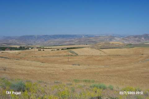 |
|
Type:
|
Mound |
|
Altitude:
|
1100 m |
|
Region:
|
Eastern Anatolia |
|
Province:
|
Malatya |
|
District:
|
Arguvan |
|
Village:
|
Tarlacik |
|
Investigation Method:
|
Survey |
|
Period:
|
EBA III EBA II |
|
|
|
 |
|
| It lies 100 m south of Horomhan quarter; south-southwest of Tarlacik Village; approximately 1 km west-northwest of Yukari Sülmenli Village; southwest of Arguvan District of Malatya. It measures 8 m in height and 50 m in diameter. The 1:200.000 map illustrates a site called Horomhani. It was discovered by C.A. Burney. Several types of the black burnished Karaz ware as well as samples of the EBA II and III painting decorated ware were collected from the surface. |
| Location: |
| Geography and Environment: |
| History: |
| Research and Excavation: |
| Stratigraphy: |
| Small Finds: |
| Remains: |
| Interpretation and Dating: |