|
©The Archaeological Settlements of Turkey - TAY Project
|
|
|
|
|
|
Horomhan |
|
|
For site maps and drawings please click on the picture...  |
For photographs please click on the photo... 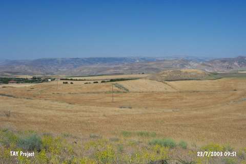 |
|
Type:
|
Mound |
|
Altitude:
|
1100 m |
|
Region:
|
Eastern Anatolia |
|
Province:
|
Malatya |
|
District:
|
Arguvan |
|
Village:
|
Tarlacik |
|
Investigation Method:
|
Survey |
|
Period:
|
Late |
|
|
|
 |
|
| The 50x75 m mound; measuring 5 m in height; lies 100 m south of Horomhan quarter; south-southwest of Tarlacik Village; approximately 1 km west-northwest of Yukari Sülmenli Village; southwest of Arguvan District of Malatya. It was discovered during the East Anatolia Regional Survey conducted by C.A. Burney in 1956. Sherds; dating to the Late Chalcolithic Age; were collected from the surface. One of these is a sherd in buff ware; with matte red painted parallel lines and triangular decorations. The site is dated to the 8/9th phases in ASPRO. |
| Location: |
| Geography and Environment: |
| History: |
| Research and Excavation: |
| Stratigraphy: |
| Small Finds: |
| Remains: |
| Interpretation and Dating: |