|
©The Archaeological Settlements of Turkey - TAY Project
|
|
|
|
|
|
Hohurdan Tepesi |
|
|
For site maps and drawings please click on the picture...  |
For photographs please click on the photo... 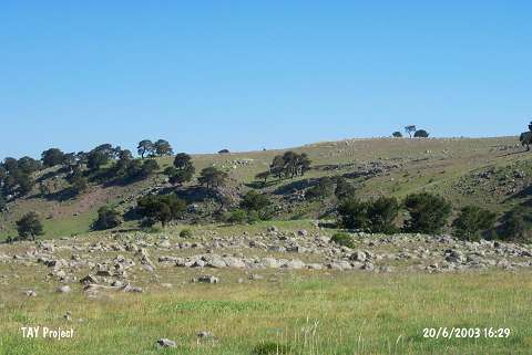 |
|
Type:
|
Upland Settlement |
|
Altitude:
|
1640 m |
|
Region:
|
Black Sea |
|
Province:
|
Ordu |
|
District:
|
Mesudiye |
|
Village:
|
Çavdar |
|
Investigation Method:
|
Survey |
|
Period:
|
|
|
|
|
 |
|
| The mound lies southwest of Ordu and of Mesudiye; 500 m east of Çavdar Yaylasi. A seasonal stream passes south of the site. There are fresh water springs around the mound; which was discovered by M. Özsait in 1991. EBA sherds are abundant. A little amount of sherds with Chalcolithic Age (?) characteristics are also existent at the site. |
| Location: |
| Geography and Environment: |
| History: |
| Research and Excavation: |
| Stratigraphy: |
| Small Finds: |
| Remains: |
| Interpretation and Dating: |