|
©The Archaeological Settlements of Turkey - TAY Project
|
|
|
|
|
|
Hazarsah / Çoban Höyük |
|
|
For site maps and drawings please click on the picture...  |
For photographs please click on the photo... 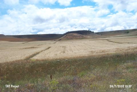 |
|
Type:
|
Mound |
|
Altitude:
|
1525 m |
|
Region:
|
Central Anatolia |
|
Province:
|
Kayseri |
|
District:
|
Bünyan |
|
Village:
|
Hazarsah |
|
Investigation Method:
|
Survey |
|
Period:
|
EBA II |
|
|
|
 |
|
| It stands on a rocky hill; northeast of Hazarsah Village; north of the Bünyan-Pazaviran/Oren motorway; southeast of Bünyan; east of Kayseri Province. It measures 10 m in height and 90x100 m in dimensions. It is round. To the north passes by an old caravan road. It was discovered by a team under A. Inan. It is reported that ruins of a city wall are visible. Pottery collected here was analyzed by N. Özgüç. The site which revealed pottery of Alisar III decorated with brown on a red background [Özgüç (N) 1947:135-136] was visited by D.H. French in 1962. According to G.H. Brown; sherds of simple red ware and black rimmed ware dating from the EBA were collected as well as tools and artifacts in obsidian and flint. The EBA II-III; MBA and Roman settlements were identified. The pottery which was found during the survey performed by K.Emre between 1987 and 1989 have been examined by Taskiran. Potsherds known from Alisar were encountered among EBA pottery. In 2008 it was visited again by F. Kulakoglu et al.. has a measured diameter of 100 m çapında and a height of 16 m. A stone wall structure with a rectangular plan was found approximately 100 m west of the mound, measuring 8x17 m. Remains of a stone vessel was found inside the building. Sherds dating to Chalcolithic, EBA, Assyrian Trade Colonies were found. EBA sherds particularly Alisar III jar were found more frequently [Kulakoğlu et al. 2010:309-310]. |
| Location: |
| Geography and Environment: |
| History: |
| Research and Excavation: |
| Stratigraphy: |
| Small Finds: |
| Remains: |
| Interpretation and Dating: |