|
©The Archaeological Settlements of Turkey - TAY Project
|
|
|
|
|
|
Hayyim Tepe |
|
|
For site maps and drawings please click on the picture...  |
For photographs please click on the photo... 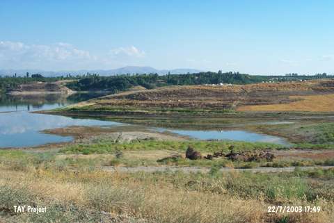 |
|
Type:
|
Mound |
|
Altitude:
|
700 m |
|
Region:
|
Eastern Anatolia |
|
Province:
|
Malatya |
|
District:
|
Yazihan |
|
Village:
|
Tecirli |
|
Investigation Method:
|
Survey |
|
Period:
|
|
|
|
|
 |
|
| It lies 800 m west of Tecirli Village; southeast of Yazihan District of Malatya. It is located 100 m southwest of Dedekargin-Surur road; east of Tohma bridge. It is 125x50 m in dimensions stands on a natural hill. It was discovered by M. Özdogan during Lower Euphrates Basin Survey in 1977 and dated to EBA. |
| Location: |
| Geography and Environment: |
| History: |
| Research and Excavation: |
| Stratigraphy: |
| Small Finds: |
| Remains: |
| Interpretation and Dating: |