|
©The Archaeological Settlements of Turkey - TAY Project
|
|
|
|
|
|
Acipinar |
|
|
For site maps and drawings please click on the picture...  |
For photographs please click on the photo... 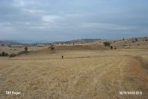 |
|
Type:
|
Flat Settlement |
|
Altitude:
|
1050 m |
|
Region:
|
Black Sea |
|
Province:
|
Tokat |
|
District:
|
Zile |
|
Village:
|
Acipinar |
|
Investigation Method:
|
Survey |
|
Period:
|
|
|
|
|
 |
|
| It lies 1.4 km north of Acipinar Village; 40 km southwest of Zile; southwest of Tokat Province. İt was discovered during the 1998 survey of M. Özsait. It was named after the nearest village. The diameter of the settlement is ca. 90 m. It is suggested that it has a cultural deposit of 4 m thick. Limited number of EBA pottery was collected by M. Özsait and his team. On the other hand; the number of the MBA; LBA and Iron Age pottery is rich. |
| Location: |
| Geography and Environment: |
| History: |
| Research and Excavation: |
| Stratigraphy: |
| Small Finds: |
| Remains: |
| Interpretation and Dating: |