|
©The Archaeological Settlements of Turkey - TAY Project
|
|
|
|
|
|
Hasirci 4 |
|
|
For site maps and drawings please click on the picture...  |
For photographs please click on the photo... 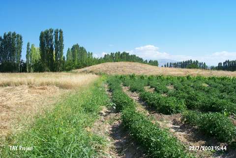 |
|
Type:
|
Mound |
|
Altitude:
|
700 m |
|
Region:
|
Eastern Anatolia |
|
Province:
|
Malatya |
|
District:
|
Merkez |
|
Village:
|
Hasircilar |
|
Investigation Method:
|
Survey |
|
Period:
|
Late |
|
|
|
 |
|
| The small; 3 m high mound; 30 m in diameter; lies north of Malatya; along the valley of Tohma Stream. It is located between the railroad and the Malatya-Hekimhan highway and Kizbogan Stream is west of the mound. The site was discovered during the survey conducted by C.A. Burney in 1956. One sherd in plain buff ware with Ninive 5 characteristics dating to the end of the Late Chalcolithic Age is recovered. It is pointille-impressed decorated [Burney 1958:fig.15]. On the other hand Burney; depending on the abundance of plain light colored ware sherds; claims that this is a small; one-phased settlement contemporary with Amuq F phase and Gözlükule Late Chalcolithic Age levels. The wheel marks on a sherd prove that it was made on a tournette. |
| Location: |
| Geography and Environment: |
| History: |
| Research and Excavation: |
| Stratigraphy: |
| Small Finds: |
| Remains: |
| Interpretation and Dating: |