|
©The Archaeological Settlements of Turkey - TAY Project
|
|
|
|
|
|
Hasirci 3 |
|
|
For site maps and drawings please click on the picture...  |
For photographs please click on the photo... 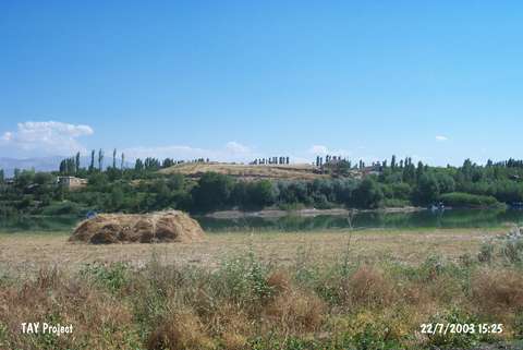 |
|
Type:
|
Mound |
|
Altitude:
|
680 m |
|
Region:
|
Eastern Anatolia |
|
Province:
|
Malatya |
|
District:
|
Battalgazi |
|
Village:
|
Hasircilar |
|
Investigation Method:
|
Survey |
|
Period:
|
|
|
|
|
 |
|
| It lies 3 km south of the Tohma Stream; 3 km west of the motorway running from Malatya to Hekimhan; north of Malatya Province. It was discovered by C.A. Burney. The presence of an EBA settlement was reported only by Burney. |
| Location: |
| Geography and Environment: |
| History: |
| Research and Excavation: |
| Stratigraphy: |
| Small Finds: |
| Remains: |
| Interpretation and Dating: |