|
©The Archaeological Settlements of Turkey - TAY Project
|
|
|
|
|
|
Hasartepe |
|
|
For site maps and drawings please click on the picture...  |
For photographs please click on the photo... 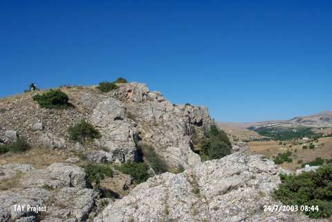 |
|
Type:
|
Upland Settlement |
|
Altitude:
|
1210 m |
|
Region:
|
Eastern Anatolia |
|
Province:
|
Malatya |
|
District:
|
Hekimhan |
|
Village:
|
Baharli |
|
Investigation Method:
|
Survey |
|
Period:
|
|
|
|
|
 |
|
| It stands on a bedrock; northern side of a small valley joining to the Kuruçay stream; east of Baharli Village; about 7 km south of Hekimhan; northwest of Malatya Province. It is a small mound; 75 m in diameter. It was discovered by C.A. Burney. Only decorated Karaz ware dating from the EBA was recovered from the surface. Another survey is necessary to verify that age. It takes place in the registered archaeological sites list prepared by Ministry of Culture and Tourism. |
| Location: |
| Geography and Environment: |
| History: |
| Research and Excavation: |
| Stratigraphy: |
| Small Finds: |
| Remains: |
| Interpretation and Dating: |