|
©The Archaeological Settlements of Turkey - TAY Project
|
|
|
|
|
|
Hasanusagi al Dai'ah |
|
|
For site maps and drawings please click on the picture...  |
For photographs please click on the photo... 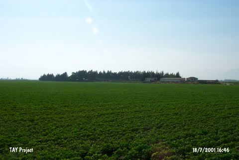 |
|
Type:
|
Mound |
|
Altitude:
|
190 m |
|
Region:
|
Mediterranean |
|
Province:
|
Hatay |
|
District:
|
Reyhanli |
|
Village:
|
Hasanusagi |
|
Investigation Method:
|
Survey |
|
Period:
|
Ceramic |
|
|
|
 |
|
| Location: This site lies northeast of the city of Antakya; 14.5 km west-northwest of the town of Reyhanli; and approximately 1 km from Lake Antioch before it was partially dried. It lies beneath the village of Hasanusagi. |
| Geography and Environment: The site of Hasanusagi; also known as Üçtepe (which literally means three hills); is comprised of three relatively small and low mounds. Now; a modern village is built on one of the mounds. The fields around the site are fertile. West of the site is a swamp/marsh. |
| History: |
| Research and Excavation: The site was discovered in 1936 during the Amuq Survey directed by R. Braidwood. |
| Stratigraphy: The finds and ceramics collected at the site were assessed according to the Tell el-Cüdeyde/Judaidah ceramic-seriation. This assesment allowed to conclude that the site was inhabited in the Islamic; Medieval; Roman and Hellenistic Periods as well as in the Neolithic. |
| Small Finds: Pottery: The Dark Burnished Ware from the Neolithic layer of this site shows close affinity with Amuq A and B assemblage (For more information on this ware; see Tell el-Cüdeyde/Judaidah; this volume). |
| Remains: |
| Interpretation and Dating: The lowest level of this mound has been placed into phase 5/6 in ASPRO and is thus dated to 8;000-7;000 BP. The Neolithic component of the site should be viewed with skepticism. |