|
©The Archaeological Settlements of Turkey - TAY Project
|
|
|
|
|
|
Harmanyeri Tepesi |
|
|
For site maps and drawings please click on the picture...  |
For photographs please click on the photo... 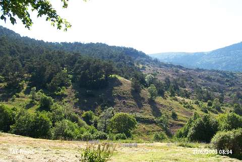 |
|
Type:
|
Slope Settlement |
|
Altitude:
|
1340 m |
|
Region:
|
Black Sea |
|
Province:
|
Ordu |
|
District:
|
Mesudiye |
|
Village:
|
Aricilar |
|
Investigation Method:
|
Survey |
|
Period:
|
|
|
|
|
 |
|
| It is located in the Elmatarla Quarter; 6 km southeast of Ariciliar Village; south of Ordu Province. It lies beneath the village's cemetery. It was discovered during the 1991 Ordu-Mesudiye survey conducted by M. Özsait. EBA pottery some with a channel and incised decoration; largely brown-red washed; grit and plant tempered in brown paste was collected from the western part of the settlement. It is located within a forestry at present. |
| Location: |
| Geography and Environment: |
| History: |
| Research and Excavation: |
| Stratigraphy: |
| Small Finds: |
| Remains: |
| Interpretation and Dating: |