|
©The Archaeological Settlements of Turkey - TAY Project
|
|
|
|
|
|
Harabe Tepe |
|
|
For site maps and drawings please click on the picture...  |
For photographs please click on the photo... 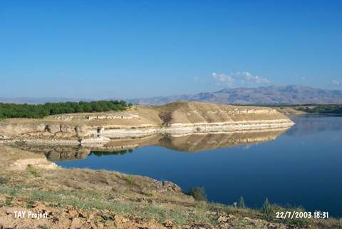 |
|
Type:
|
Mound |
|
Altitude:
|
700 m |
|
Region:
|
Eastern Anatolia |
|
Province:
|
Malatya |
|
District:
|
Yazihan |
|
Village:
|
Dedekargin |
|
Investigation Method:
|
Survey |
|
Period:
|
|
|
|
|
 |
|
| It stands on a natural hill; northern bank of the Tohma Stream; 3 km southeast of new Dedekargin Village of Malatya Province. The flooded old village exists north-northwest of the mound. North of the mound Damlakaya and north-northeast of it Ziyaret Tepesi stands. It was discovered during the Lower Euphrates Project in 1977. Sherds of EBA were collected from the surface. It is reported to measure 75x50 m. It is coded under P 50-11. |
| Location: |
| Geography and Environment: |
| History: |
| Research and Excavation: |
| Stratigraphy: |
| Small Finds: |
| Remains: |
| Interpretation and Dating: |