|
©The Archaeological Settlements of Turkey - TAY Project
|
|
|
|
|
|
Haraba Tepe / Elmapinar |
|
|
For site maps and drawings please click on the picture...  |
For photographs please click on the photo... 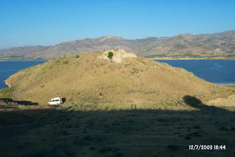 |
|
Type:
|
Mound |
|
Altitude:
|
890 m |
|
Region:
|
Eastern Anatolia |
|
Province:
|
Elazig |
|
District:
|
Palu |
|
Village:
|
Örencik |
|
Investigation Method:
|
Excavation |
|
Period:
|
Late |
|
|
|
 |
|
| The mound lies at the place where Simsat Castle is located; 600 m north-northeast of Örencik Village; southwest of Palu District; 55 km east of Elazig. It is 5 km east of the bridge of Gülüskür; on the west bank of Murat River; south of Keban Dam reservoir. This is the section of the river where its valley constitutes a mountain pass. An excavation was conducted by B. Ögün in 1969-70 and 1973 to reveal the Hellenistic-Roman and Medieval settlements. According to H.F. Russell; sherds are of very coarse cooking ware. |
| Location: |
| Geography and Environment: |
| History: |
| Research and Excavation: |
| Stratigraphy: |
| Small Finds: |
| Remains: |
| Interpretation and Dating: |