|
©The Archaeological Settlements of Turkey - TAY Project
|
|
|
|
|
|
Hankendi |
|
|
For site maps and drawings please click on the picture...  |
For photographs please click on the photo... 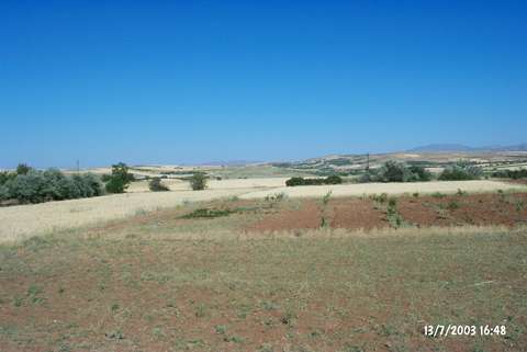 |
|
Type:
|
Mound |
|
Altitude:
|
1160 m |
|
Region:
|
Eastern Anatolia |
|
Province:
|
Elazig |
|
District:
|
Merkez |
|
Village:
|
Hankendi |
|
Investigation Method:
|
Survey |
|
Period:
|
|
|
|
|
 |
|
| It lies 1.5 km southeast of Hankendi Village; southwest of Elazig Province. Its western skirt has been slightly truncated by Elazig-Malatya railway. It has a round and conical shape. It measures 10 m in height;75 m in diameter and there is a survey point on top hill. During a survey conducted in 1956 by C.A. Burney; aside material of the Chalcolithic Age; samples of the Karaz ware with a black exterior and red interior surface; red-brown burnished ware and painting decorated ware were collected from the surface. It is reported by E. Danik that the mound is named as Dilektepe Höyük or Han Höyük in some publications and recorded as Tilliktepe in his 2003 survey. It takes place in the registered archaeological sites list prepared by Ministry of Culture and Tourism. |
| Location: |
| Geography and Environment: |
| History: |
| Research and Excavation: |
| Stratigraphy: |
| Small Finds: |
| Remains: |
| Interpretation and Dating: |