|
©The Archaeological Settlements of Turkey - TAY Project
|
|
|
|
|
|
Hamzali Buran Çiftlik |
|
|
For site maps and drawings please click on the picture...  |
For photographs please click on the photo... 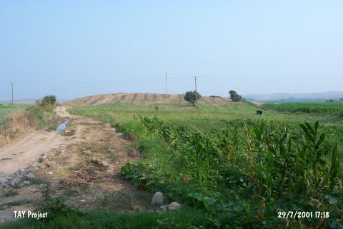 |
|
Type:
|
Mound |
|
Altitude:
|
70 m |
|
Region:
|
Mediterranean |
|
Province:
|
Adana |
|
District:
|
Yumurtalik |
|
Village:
|
Hamzali |
|
Investigation Method:
|
Survey |
|
Period:
|
|
|
|
|
 |
|
| It is located inside a valley extending to the Mediterranean Sea; south of the Misis Mountain; 18 km southeast of Ceyhan District; southeast of Adana Province. It is a small mound; 6 m high in Bedros Mevkii at the southeast entrance of Hamzali Village. Olives and grapes are grown in the fertile land surrounding the mound. It was introduced as housing the settlements of the EBA; the Hittite and Hellenistic Periods during the Cilicia survey conducted under M.V. Seton Williams. Sherds of red and black burnished ware dating from the EBA were recovered. |
| Location: |
| Geography and Environment: |
| History: |
| Research and Excavation: |
| Stratigraphy: |
| Small Finds: |
| Remains: |
| Interpretation and Dating: |