|
©The Archaeological Settlements of Turkey - TAY Project
|
|
|
|
|
|
Bayat |
|
|
For site maps and drawings please click on the picture...  |
For photographs please click on the photo... 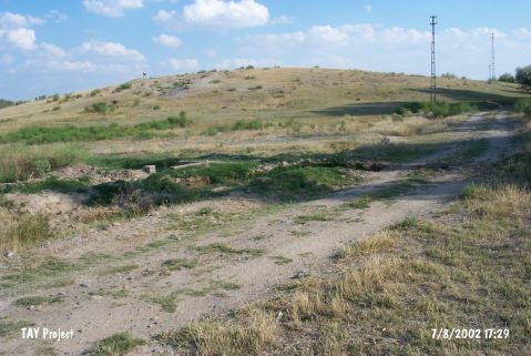 |
|
Type:
|
Mound |
|
Altitude:
|
1110 m |
|
Region:
|
Central Anatolia |
|
Province:
|
Nigde |
|
District:
|
Bor |
|
Village:
|
Bayat |
|
Investigation Method:
|
Survey |
|
Period:
|
|
|
|
|
 |
|
| It lies 2.3 km northeast of Bayat Village; north of Kayi Village; 16 km west-northwest of Bor District; west-southwest of Nigde Province. It is located immediate southwest of the Bor-Kinikören motorway. It was discovered by J. Mellaart. It was included in the settlements of the second millennium BC; however sherds dating from the EBA were also reported. Another survey is necessary to verify the finds dating from the third millennium BC. |
| Location: |
| Geography and Environment: |
| History: |
| Research and Excavation: |
| Stratigraphy: |
| Small Finds: |
| Remains: |
| Interpretation and Dating: |