|
©The Archaeological Settlements of Turkey - TAY Project
|
|
|
|
|
|
Halaslar |
|
|
For site maps and drawings please click on the picture...  |
For photographs please click on the photo... 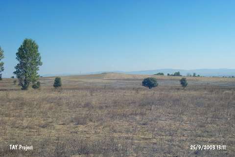 |
|
Type:
|
Mound |
|
Altitude:
|
1225 m |
|
Region:
|
Black Sea |
|
Province:
|
Bolu |
|
District:
|
Gerede |
|
Village:
|
Sofular |
|
Investigation Method:
|
Survey |
|
Period:
|
|
|
|
|
 |
|
| It lies on the Ankara Road; to the southeast of Istanbul-Gerede exit of TEM motorway; south-southeast of Sofular Village; south of Gerede District of Bolu Province. It was discovered by C.A. Burney in 1955 and dated to the EBA. |
| Location: |
| Geography and Environment: |
| History: |
| Research and Excavation: |
| Stratigraphy: |
| Small Finds: |
| Remains: |
| Interpretation and Dating: |