|
©The Archaeological Settlements of Turkey - TAY Project
|
|
|
|
|
|
Hacilartepe |
|
|
For site maps and drawings please click on the picture...  |
For photographs please click on the photo... 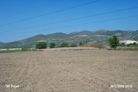 |
|
Type:
|
Mound |
|
Altitude:
|
102 m |
|
Region:
|
Marmara |
|
Province:
|
Bursa |
|
District:
|
Orhangazi |
|
Village:
|
Örnekköy |
|
Investigation Method:
|
Excavation |
|
Period:
|
EBA II EBA III |
|
|
|
 |
|
| It lies 500 m southwest of the Ilipinar settlement; about 2 km south of the Bursa-Yalova highway; west of Orhangazi District; Bursa Province. It was discovered in 1965 by D.H. French. It measures ca. 150x4 m. It was excavated in 1993-1995 by J.J. Rodenberg who didn't publish it yet. Based on the excavation reports; it's virgin soil was reached at 4.5 m depth through a sounding of 7x9 m. All deposits belong to the EBA II and III. Various architectural layers were uncovered. In the lowest level; two constructions extending in the north-south direction were recovered within a deposit of 2 m thick. Walls of the building are in wattle and daub. Remains of buildings where timber was frequently used were uncovered. It is informed that the pottery resembles the samples known from Troy and Demircihöyük. Some 14C samples taken from Hacilartepe are dated to 2400 BC. It takes place in the registered archaeological sites list prepared by Ministry of Culture and Tourism. |
| Location: |
| Geography and Environment: |
| History: |
| Research and Excavation: |
| Stratigraphy: |
| Small Finds: |
| Remains: |
| Interpretation and Dating: |