|
©The Archaeological Settlements of Turkey - TAY Project
|
|
|
|
|
|
Hacilartepe |
|
|
For site maps and drawings please click on the picture...  |
For photographs please click on the photo... 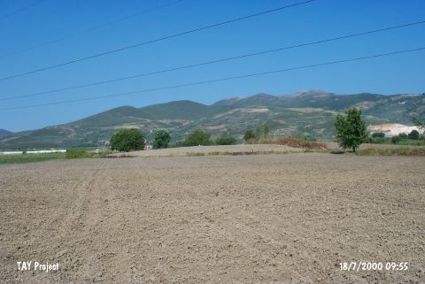 |
|
Type:
|
Mound |
|
Altitude:
|
102 m |
|
Region:
|
Marmara |
|
Province:
|
Bursa |
|
District:
|
Orhangazi |
|
Village:
|
Örnekköy |
|
Investigation Method:
|
Excavation |
|
Period:
|
Late |
|
|
|
 |
|
| The small mound lies northeast of Bursa; south of Orhangazi; approximately 1 km west-northwest of Örnek village; 500 m southwest of Ilipinar Höyügü. Bursa-Yalova road passes 2 km northeast of the mound. The site was discovered in 1965. Afterwards an excavation was conducted by Roodenberg for three seasons. Virgin soil was reached at the depth of 4.5 m. Black burnished sherds; belonging to the Late Chalcolithic Age; were found without the traces of a settlement. Therefore; Hacilartepe is a debatable site for this period. It takes place in the registered archaeological sites list prepared by Ministry of Culture and Tourism. |
| Location: |
| Geography and Environment: |
| History: |
| Research and Excavation: |
| Stratigraphy: |
| Small Finds: |
| Remains: |
| Interpretation and Dating: |