|
©The Archaeological Settlements of Turkey - TAY Project
|
|
|
|
|
|
Hacikebir |
|
|
For site maps and drawings please click on the picture...  |
For photographs please click on the photo... 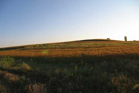 |
|
Type:
|
Mound |
|
Altitude:
|
980 m |
|
Region:
|
Aegean |
|
Province:
|
Kütahya |
|
District:
|
Çavdarhisar |
|
Village:
|
Hacikebir |
|
Investigation Method:
|
Survey |
|
Period:
|
EBA II EBA III |
|
|
|
 |
|
| It lies immediate west of Hacibekir Village; 5 km northeast of Çavdarhisar District; Kütahya Province. Bara Stream flows from the south and Karayar Stream from the west-northwest of the mound. The area between Karayar Stream and the mound is known as Höyükarasi. The settlement is locally called Höyüktepesi. It was discovered in 1992 during a survey conducted by T. Efe. It measures 9.5 m in height and 430 m in diameter. It consists of three adjacent cones and is quite distinctive in the plain area. Materials of the EBA II-III and the second millennium BC. were collected from the surface. |
| Location: |
| Geography and Environment: |
| History: |
| Research and Excavation: |
| Stratigraphy: |
| Small Finds: |
| Remains: |
| Interpretation and Dating: |