|
©The Archaeological Settlements of Turkey - TAY Project
|
|
|
|
|
|
Hacibaba Tepesi 2 |
|
|
For site maps and drawings please click on the picture...  |
For photographs please click on the photo... 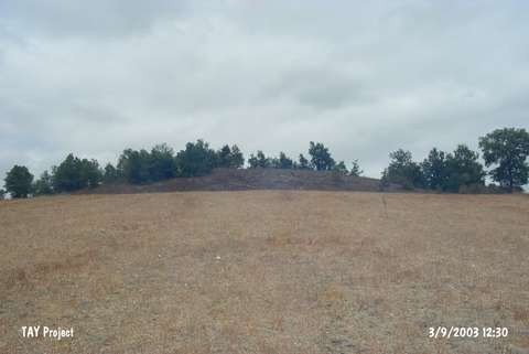 |
|
Type:
|
Mound |
|
Altitude:
|
580 m |
|
Region:
|
Black Sea |
|
Province:
|
Samsun |
|
District:
|
Kavak |
|
Village:
|
Tatarmuslu |
|
Investigation Method:
|
Survey |
|
Period:
|
|
|
|
|
 |
|
| It lies west-southwest o Tatarmuslu Village; immediate southwest of Kavak District of Samson Province. North of the mound passes the motorway to Samsun and east of it flows the stream of Ötedere. It was discovered by U.B. Alkim and dated to EBA. |
| Location: |
| Geography and Environment: |
| History: |
| Research and Excavation: |
| Stratigraphy: |
| Small Finds: |
| Remains: |
| Interpretation and Dating: |