|
©The Archaeological Settlements of Turkey - TAY Project
|
|
|
|
|
|
Karahöyük |
|
|
For site maps and drawings please click on the picture...  |
For photographs please click on the photo... 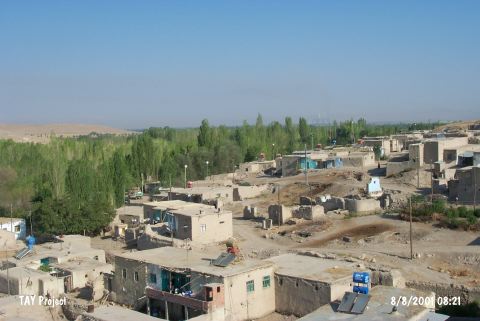 |
|
Type:
|
Mound |
|
Altitude:
|
1200 m |
|
Region:
|
Eastern Anatolia |
|
Province:
|
Kahramanmaras |
|
District:
|
Elbistan |
|
Village:
|
Karahüyük |
|
Investigation Method:
|
Excavation |
|
Period:
|
|
|
|
|
 |
|
| It lies in Karahüyük Village; about 6.9 km northwest of Elbistan District; north of Kahramanmaras Province. Excavations at Karahöyük were initiated by a team led by T. Özgüç in 1947. The mound was revisited during the survey performed by Konyar and his team in 2010. After a long interlude, excavations started again in 2014 under the Directorate of Kahramanmaras Museum. The information obtained from the survey suggests that Hittite pottery has continued with small changes in IA as well. The pottery decorated with geometric, grill, cross-hatching, hatching and painted band motifs show IA characteristics. Found in the same layer, a stele with hieroglyph inscription gave clue about localization. The stele found in situ was dated to the period between 1200-1000 BC On the inscription reads; this stele was erected in honor of Storm God, in memory of "Great King" who came to city [Konyar et al. 2012:39-40]. The studies conducted so far show that there are 6 levels in the mound. Level 1 is dated to Roman Period and Level 2, 3, 4 and 5 is related to Late Hittite Period. Level 5 and 4 are dated to the 11th century BC to the end of the 8th century BC. Level 6, on the other hand, represents Hittite Imperial Period. In 2015, the finds belonging to Level 2, 3, 4 and 5 dated to IA were found. The majority of the vessels and potsherds recovered from Level 1 consist of painted IA wares. Along with the painted wares found in Level 2 and 3, painted potsherds with decoration were also revealed. On the northwest slope, the level yielded IA finds is located parallel to Level 2 and 5 that were exposed during the 1947 excavations. The mud brick walls with stone foundation exposed in the middle and eastern section of Trench 11 show no regular plan. The potsherds recovered from this level are painted and with painted decorations. There are also a few Hittite pothsherds. Although it is clear that this level belongs to IA, it is not yet possible to date for certain because of the mixed material (i.e. Hittite potsherds) [Uysal-Çiftçi 2017:36, 38, 39, 40]. It takes place in the registered archaeological sites list prepared by Ministry of Culture and Tourism. |
| Location: |
| Geography and Environment: |
| History: |
| Research and Excavation: |
| Stratigraphy: |
| Small Finds: |
| Remains: |
| Interpretation and Dating: |