|
©The Archaeological Settlements of Turkey - TAY Project
|
|
|
|
|
|
Akyazi Tepesi |
|
|
For site maps and drawings please click on the picture...  |
For photographs please click on the photo... 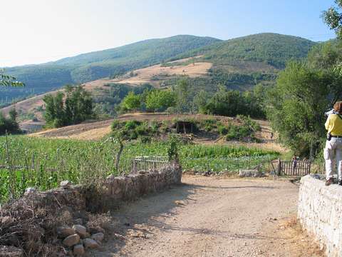 |
|
Type:
|
Slope Settlement |
|
Altitude:
|
730 m |
|
Region:
|
Black Sea |
|
Province:
|
Amasya |
|
District:
|
Merkez |
|
Village:
|
Yukari Barakli |
|
Investigation Method:
|
Survey |
|
Period:
|
Early Late |
|
|
|
 |
|
| The site lies northeast of Amasya; 29 km southwest of Tasova; in Yukari Bayrakli Yöresi. Degirmenbasi Stream runs by south of the site and the village road passes on its northern slope. The site measures 125x100 m. Sherds of dark gray; thin-walled; incised; fine ware; dating back to the Early and Late Chalcolithic Ages; were collected during the Amasya-Tasova Survey conducted by M. Özsait in 1994. In addition; EBA sherds are existent at the site. |
| Location: |
| Geography and Environment: |
| History: |
| Research and Excavation: |
| Stratigraphy: |
| Small Finds: |
| Remains: |
| Interpretation and Dating: |