|
©The Archaeological Settlements of Turkey - TAY Project
|
|
|
|
|
|
Güzel Höyük |
|
|
For site maps and drawings please click on the picture...  |
For photographs please click on the photo... 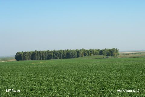 |
|
Type:
|
Mound |
|
Altitude:
|
125 m |
|
Region:
|
Mediterranean |
|
Province:
|
Hatay |
|
District:
|
Kirikhan |
|
Village:
|
Merkez |
|
Investigation Method:
|
Survey |
|
Period:
|
EBA II |
|
|
|
 |
|
| It is located in the alluvial brought by the Karasu Stream; 500 m south of Kirikhan-Antakya motorway; 2 km southeast of Kirkhan District; northeast of Hatay Province. It is a medium size mound. It was reported to be high in 1935. It was surrounded by swamps since the Lake Amuq was not dried then. It was discovered by R. Braidwood in 1935. Material collected from the surface exposes the presence of the settlements dating from the third and second millennia BC. Further surface collection and evaluation are necessary for a possible settlement of the third millennium BC. |
| Location: |
| Geography and Environment: |
| History: |
| Research and Excavation: |
| Stratigraphy: |
| Small Finds: |
| Remains: |
| Interpretation and Dating: |